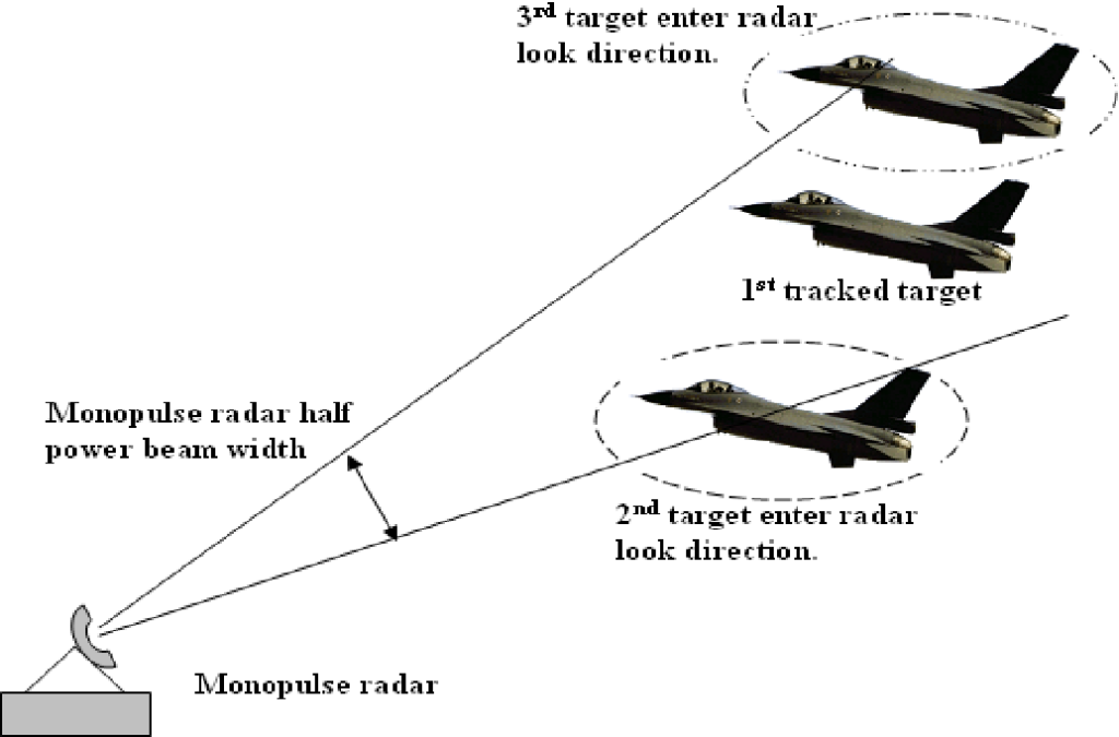
Monopulse Technology Radar
The monopulse Technology radar is a sophisticated system for target detection and tracking, leveraging advanced techniques to enhance performance. It builds upon the principles of conical scanning radar but incorporates additional features to mitigate issues arising from rapid signal strength fluctuations. Unlike conical scanning radar, which employs a single scanning beam, monopulse radar utilizes a minimum of four separate beams that transmit simultaneously while receiving independently. By analyzing the energy returned in these beams and comparing them, precise azimuth and elevation adjustments can be made. This approach offers two key advantages over conical scan: accelerated data gathering capabilities and improved target tracking accuracy.
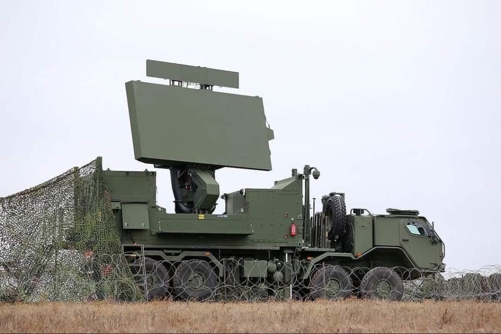
Ground Control Interceptor (GCI) Radar
GCI, or Ground Control Interceptor, is a crucial air defense tactic integrating radar stations with a central command communications center. This coordination enables the precise guidance of interceptor aircraft toward airborne threats. Technology Radar systems designed explicitly for GCI purposes are often called GCI radar. These systems require updating data rapidly and accurately, necessitating a short to medium range with higher RPM (Revolutions Per Minute). In the event of an aerial threat, the ground controller takes on the vital role of guiding friendly aircraft to intercept hostile targets, ensuring effective defense measures.
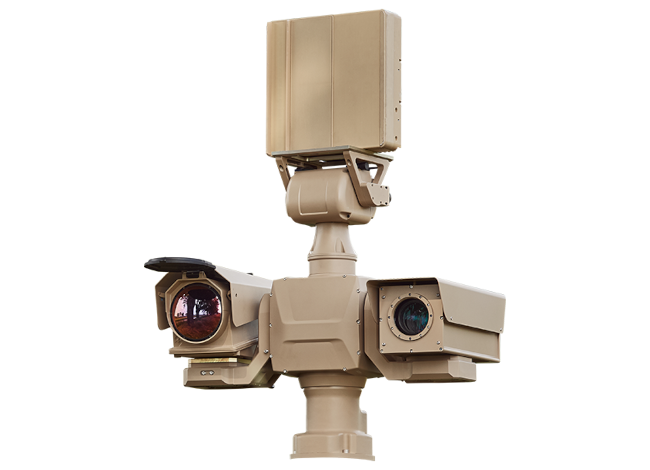
Optic Radar
Radar systems typically employ antennas or energy-emitting devices to function. However, optical radar operates differently; it doesn’t emit energy or transmit wave patterns. Instead, optical radar functions akin to a camera, utilizing optical technology to gather information.
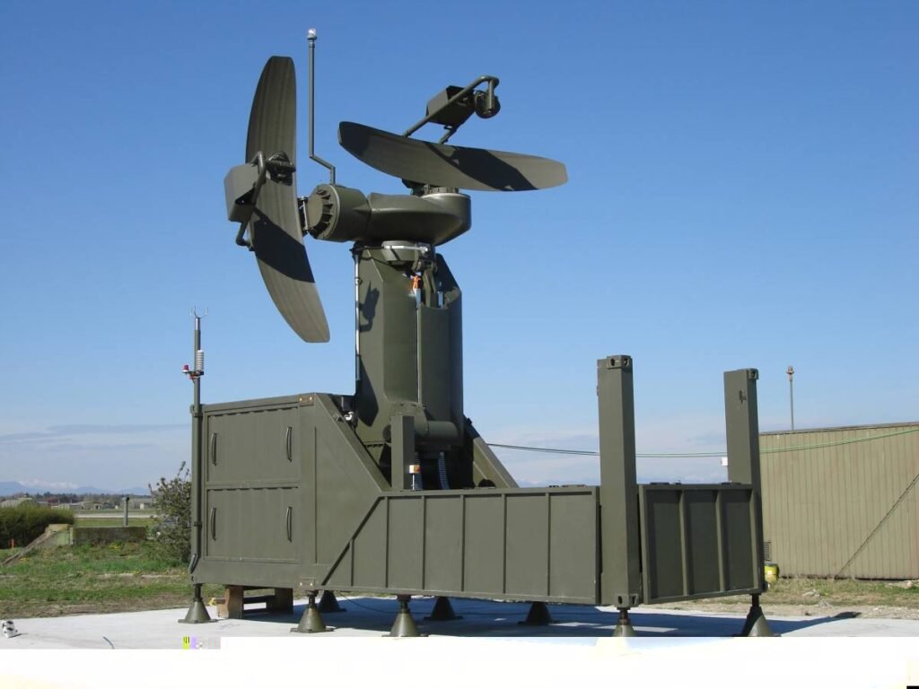
Precision Approach Radar (PAR)
A Precision Approach Radar (PAR) Technology system is a specialized radar guidance system specifically designed to assist aircraft pilots during landing procedures by providing both lateral and vertical guidance until the aircraft reaches the landing threshold. This guidance remains active until the decision height (DH) or decision altitude (DA) is reached, after which it becomes advisory in nature. Controllers overseeing the PAR system monitor the aircraft’s position via displays and issue instructions to the pilot to maintain the correct course and glide path during the final approach phase.
While similar to an Instrument Landing System (ILS), PAR requires active control instructions from air traffic controllers. It is often utilized in conjunction with a ground-controlled approach (GCA). During the approach, controllers are required to transmit position updates to the pilot at least every 5 seconds regarding their azimuth alignment, and once the glide path is intercepted, they provide elevation guidance as well. The PAR approach concludes either upon the aircraft’s touchdown or when the pilot visually identifies the airport and elects to proceed visually.
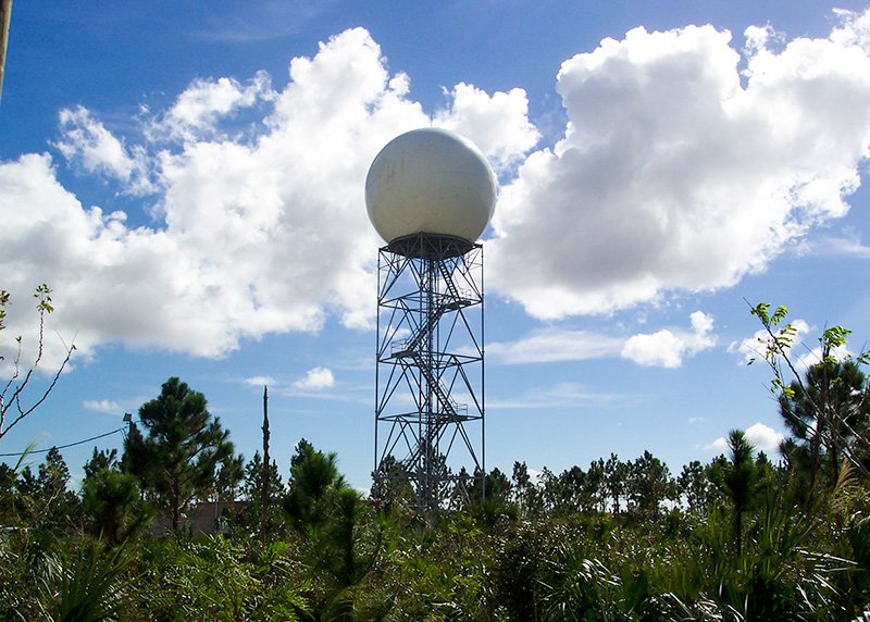
Weather Surveillance Radar (WSR)
This form of radar is employed to detect precipitation, analyze its movement, identify its composition (such as rain, snow, hail, etc.), and predict its forthcoming trajectory and strength. Contemporary weather radars predominantly utilize pulse-Doppler technology, enabling them to discern the motion of rain droplets alongside assessing precipitation intensity. By examining both data sets, meteorologists can ascertain storm formations and assess their potential for severe weather events.

Over the Horizon Radar(OTH)
OTH (also known as Beyond the Horizon or BTH) serves as a strategic design framework for radar systems, facilitating the detection of targets across extensive distances. With the capability to reach ranges of up to thousands of kilometers (4000 km), these systems typically operate with average power outputs of several hundreds of kilowatts or higher, coupled with antenna gains ranging from approximately 20 to 30dB. Operating within frequency ranges from several megahertz to several tens, OTH radar systems require substantial antenna sizes to achieve narrow beam widths. Antennas of this caliber often boast horizontal lengths of 300 meters or more, ensuring their efficacy in long-range detection operations.
Side-Looking Airborne Radar (SLAR)
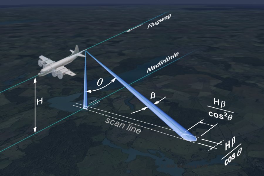
In Side-Looking Airborne Radar Technology (SLAR), the microwave beam is transmitted obliquely, perpendicular to the direction of flight, illuminating a swath. Range denotes the dimension across-track, perpendicular to the flight path, while azimuth signifies the dimension along-track, parallel to the flight path. Swath width represents the strip of the Earth’s surface from which data are collected, reflecting the width of the imaged scene in the range dimension. The longitudinal extent of the swath is dictated by the aircraft’s motion relative to the surface, while swath width is measured perpendicular to the longitudinal extent of the swath.





2 Responses
Can you be more specific about the content of your article? After reading it, I still have some doubts. Hope you can help me.
Your point of view caught my eye and was very interesting. Thanks. I have a question for you.