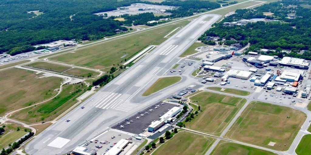
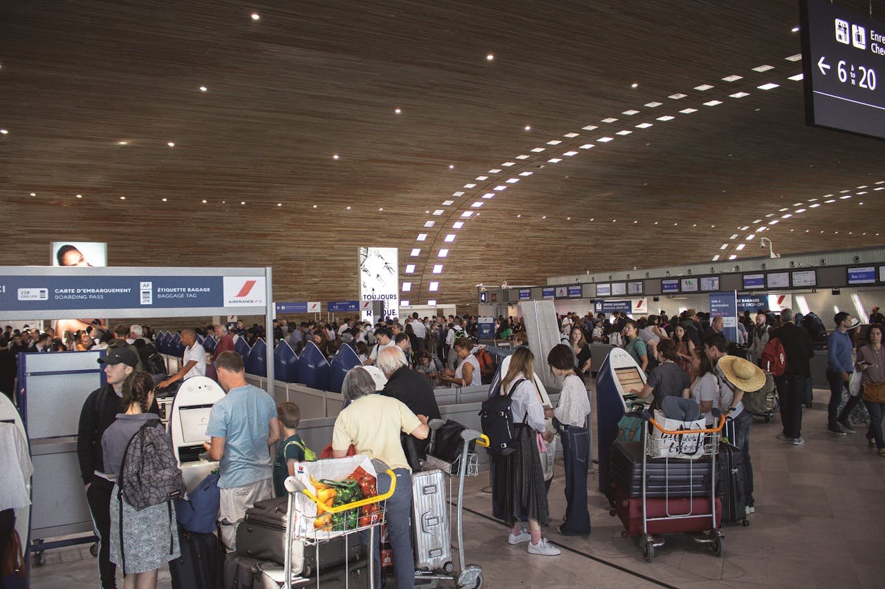
The ATC definitions below outline the terminology associated with air traffic control and related fields, serving as a standard reference for compliance and guidance. These definitions have been agreed mainly upon internationally by the International Civil Aviation Organization (ICAO), with few exceptions.
ATC Definition Used In Aviation
Aerodrome: A defined area of land or water or other supporting surface, including any buildings or installations thereon, generally used for landing, alighting, or taking off an aircraft.
Alternate Airfield: An airfield specified in a flight plan to which a flight may proceed when a landing at the intended destination becomes inadvisable.
Landing Aids: A landing aid is an equipment or system designed primarily to assist an aircraft during its final approach, touch-down, and landing run.
Airfield: A defined area on land used for the take-off and landing of aircraft.
Airport: Any aerodrome at which facilities available to the public are provided for shelter, servicing, or repair of aircraft and for receiving or discharging passengers or cargo.
Altitude: The vertical distance of an object from mean sea level.
Approach area (Airfield: An area extending outward from each end of a landing strip within which no natural or man-made object is to project above a pre-determined safe angle for ascent or descent of aircraft.
Approach Clearance: Authorization by an air traffic control center or approach control for a pilot to make an approach to an aerodrome.
Approval: The final permission is given for a proposed flight after verification has been made that the altitude and route conform to regulations and that air traffic clearance has been obtained when necessary.
Prohibited flying Area: An airspace of defined dimensions, designated by the appropriate authority, over which the flight of aircraft is prohibited for the purpose of national defence or for other government purposes.
Area Control: An area of land or water, designated by the appropriate authority, extending upwards from a designated height above ground or water, within which air traffic control is exercised.
Restricted Area:
(1) Restricted area Class ‘A’- an area which is prohibited to friendly aircraft other than defending fighters under control.
(2) Restricted area Class ‘B’- an area in which friendly aircraft, other than defending fighters under control, are normally permitted to fly.
(3) Restricted area Class ‘C’- an area through which friendly aircraft are permitted to fly provided that notification of Flight is given in the normal manner.
Beacon: Any non-directional device for radiating energy equally in all directions.
Omni-directional Beacon: A beacon radiating in all directions and providing a datum in relation to which a bearing is obtained in an aircraft.
Break off Altitude: The altitude below which a pilot is not permitted to bring his aircraft during a let-down using any approach aid, unless he is in visual contact with the ground, or in emergency.
Clearance Air Traffic: Authorization by air traffic control for an aircraft to proceed under specified conditions.
Control Service Area: A service established at an air traffic control centre to provide air traffic control for a control area.
Controlled Airspace: An airspace of defined dimensions within which air traffic control service is provided for IFR flights.
Cruising Level: A level maintained during a significant portion of a flight.
Date Time Group (DTG: The date and time at which a message was prepared for transmission, expressed in digits and a zone suffix, the first pair of digits denote the date, the second pair hours, third pair minutes.
Datum: Any position, direction or plan, to which other datas are reffered.
Dog Leg: An international temporary divergence from the particular direction of the planned track.
Estimated Time of Arrival (ETA: The predicted time at which an aircraft is to reach a given point.
Flight Information Region (FIR: A region of defined dimensions, designated by the appropriate authority, within which an Air Traffic Control Centre is responsible for providing flight information service and initiating measure for search and rescue.
Flight Plan: Specified information relative to the intended flight of an aircraft, filed either verbally or in writing with Air Traffic Control.
IFR Flight: A flight conducted in accordance with Instrument Flight Rules.
Instrument Approach Procedure: Manoeuvres which an aircraft flying in I. M.C. is required to follow for the purpose of landing.
Instrument Landing System: A system of radio navigation intended to assist the aircraft in landing, which provides lateral and vertical guidance, including indications of distance from the optimum point of landing.
International Civil Aviation Organisation (ICAO: An international organization established to provide standardized flight rules and regulations on a worldwide basis.
NOTAM – (Notice to Airmen: A report containing information concerning the establishment, condition, or change in any facility or aid to air navigation or landing field.
Omni-Range: A radio aid to air navigation, which creates an infinite number of paths in space throughout 360 degrees of azimuth.
Visual Flight Rules (VFR): Rules governing the flight when weather conditions are equal to or above the Minimum prescribed for such flights.


